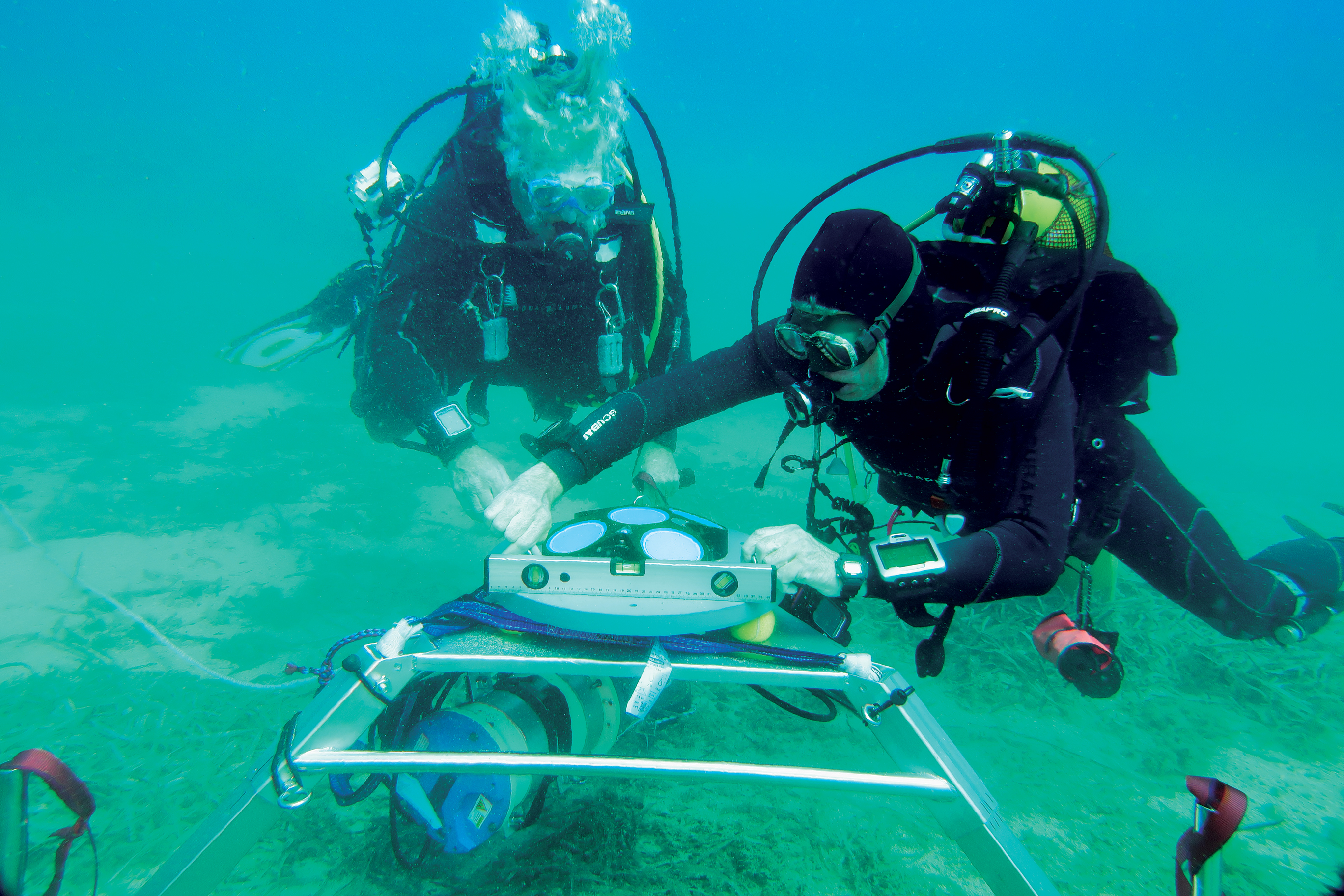
Representatives from Sintela are coming to Scripps to host a Technical Forum to present and answer questions about their acoustic sensing technology. Lunch will be provided.
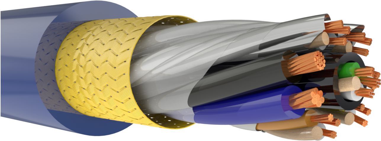
Title: Applications of Distributed Acoustic Sensing in Oceanography, Earth Sciences, and Geophysics
In this Technical Forum, Shaun Diplock, Operations Manager at Sintela, will explore how advances in fiber‑optic Distributed Acoustic Sensing (DAS) are revolutionizing measurement and monitoring across oceanography, earth sciences, and…